EagleView: Public Safety Film
Overview
EagleView is a geospatial tool and geographic information mapping system used in 5 different sectors of our society: Government, Construction, Solar, Insurance and Utility. Their technology focuses on aerial imagery that provides data to support research and development efforts in their industries of focus.
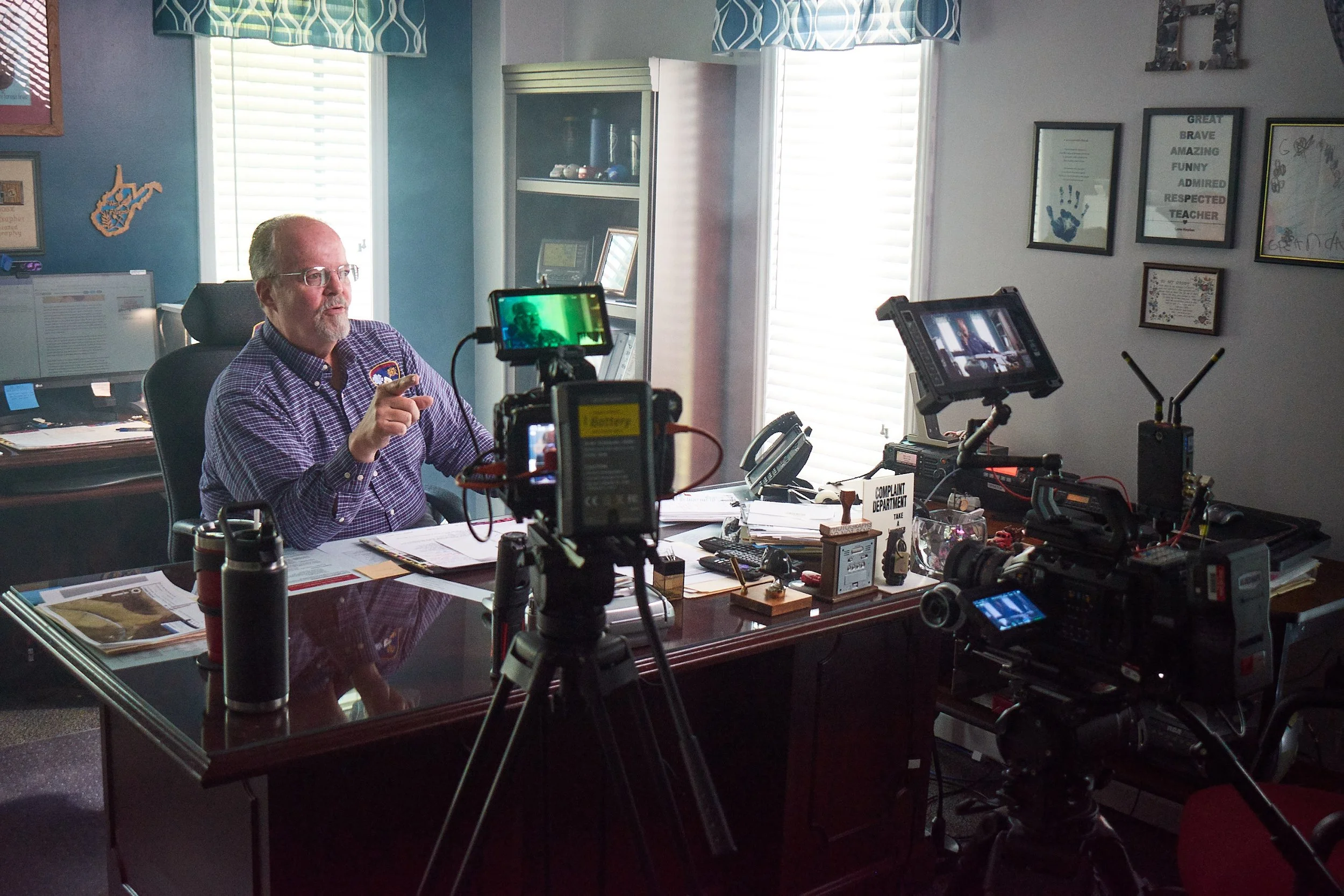
In an effort to show their value and grow their market, my team and I helped EagleView produce a short narrative film about Public Safety. Their aerial technology is used in 911 emergency facilities to help accurately identify the location of someone in danger.

A Story Uncovered
Producing and project managing a narrative-style film is, I think, more complicated than a scripted/instructional film. It requires a ton of research, pre-interview calls and a solid foundation of organization—especially when it comes to being on-location versus in a controlled studio space.
In some ways, I’m like a tour guide. I am the keeper of all information, and leading the process every step of the way. With the EagleView project, I led all parties (my team, the client, and the cast) in a 3-day shoot in West Virginia and brought it home to the editing crew. The most important aspects to me were building trust with those sharing their story on camera; keeping the plan simple and clear; and bringing creativity to the days on set. Post film launch, the client said their team had never felt more inspired by the message & goals behind their work.
Check out the EagleView Public Safety film below.